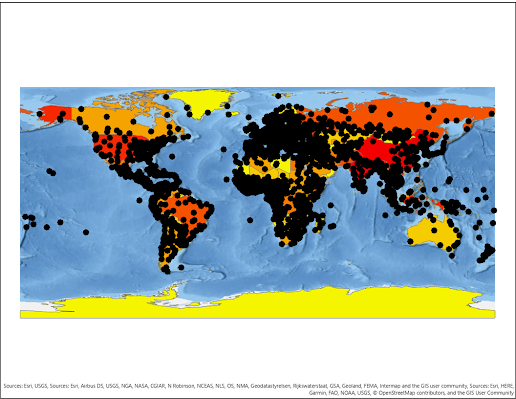
My first map created in ArcGIS Pro
This my first time creates a map project in ArcGIS Pro. I chose the National Geographic base map. The city symbols did not turn out the way I thought they would. They are too thick and are hard to determine cities and their corresponding countries.
Subscribe to:
Post Comments (Atom)
Module 7: Google Earth
Module 7: Google Earth Using ArcGIS Pro's Geoprocessing Tool, "Layer to KML" I was able to turn a polygon shapefile that show...

-
Module 4: Data Classification Methods For this assignment, I was tasked with using 4 data classification methods (quantile, standard deviat...
-
Cartography Module 1: Map Critique This assignment allowed me the opportunity to critique two maps based on their design aesthetics. One m...


No comments:
Post a Comment